
It’s great to see you here. Here you’ll find mountain hikes in the Bavarian Alps, Austria, South Tyrol and worldwide, complete with GPS tracks and plenty of photos.
Please note: We are currently setting up the English version of our website. In the meantime, please visit also our German website.
 Tuxer Alpen
 from the Loassattel")
 Bayerisches Alpenvorland
, Taubenberg (896 m / 2,940 ft) - From Darching to Warngau")
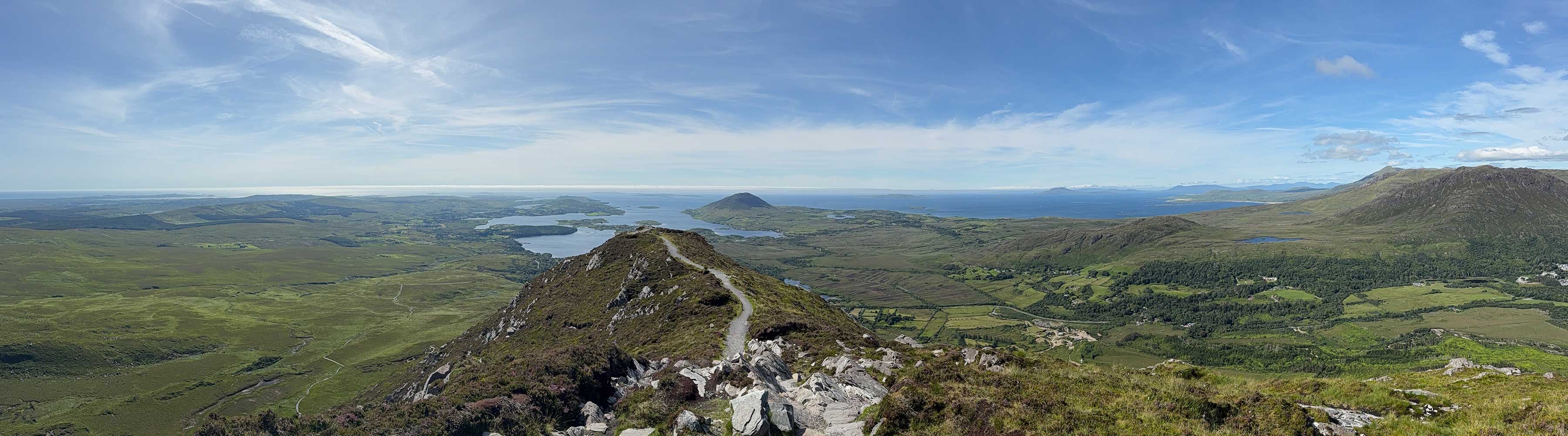
 Killarney
 - Devil's Punch Bowl")
 Lofoten
")
 Cairngorms
")
 Dolomites
 from the Pordoi Pass")
 Corsica
, the highest mountain in Corsica") Geirangerfjord
Geirangerfjord