


 Corsica
Haut-Asco (1422 m) – Lac d’Argento (2300 m) – Pointe des Éboulis (2607 m) – Monte Cinto (2706 m)
Alpine hike with more challenging sections and climbing passages up to UIAA Grade 1. The detour from the GR20 to the summit leads over boulder fields. Sure-footedness, a head for heights and a good sense of direction are required.
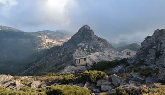
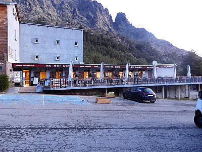
From Ponte Leccia, follow the T30 for a good 2 km towards Calvi, then turn left into the Asco Valley. Follow the road to the end of the road at Haut-Asco and park there at the former ski resort.
42.40349293, 8.92379522
Anzeige
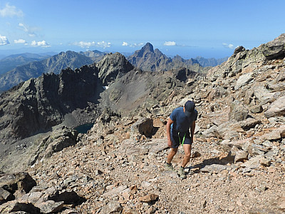
In the heart of the Corsican mountains, at an altitude of 2706 m, lies the highest point in Corsica. This fact alone would be reason enough to climb Monte Cinto. The unique landscape does the rest to make this day trip an unforgettable experience. Past pine trees as tall as skyscrapers, over wild and romantic mountain streams and through the rugged rocks, a challenging route leads from the Asco Valley to the summit of Monte Cinto. The summit is also often visited as part of a trekking tour along the GR20 long-distance trail; after all, the extra effort on stage 4 from the Refuge d'Ascu Stagnu to the Refuge Tighjettu is comparatively small at just 2 hours. However, one should not underestimate the long and strenuous tour through challenging terrain!
 We start our tour heading east from the car park in front of the Hôtel le Chalet. Monte Cinto – here written in the Corsican spelling as “Monte Cintu” – is already signposted, as is the GR20. The path leads southwards quite comfortably at first, with no significant changes in altitude. In the early morning hours, it is still pleasantly cool and the air beneath the mighty pines and cypresses is refreshingly crisp. Soon the forest thins out and the terrain becomes increasingly rocky. Before us rise the steep north faces of Punt Minuta, Capu Rossu and Capu Larghia. To our left, the Ruisseau de Tighiettu babbles picturesquely down into the valley, later joining other streams to become the Asco. We finally cross the stream to the east via a small bridge.
 The white-and-red-marked path now leads much more steeply up the mountain through the rocks. More difficult sections have been made easier by thick iron chains. Whilst behind us the ridge stretching northwards from A Muvrella is increasingly bathed in sunlight, we are still moving in the dark shadow cast upon us by the northern foothills of Capu Borba. A good distance above the stream, we head towards the saddle between Capu Borba and Monte Cinto. Just before the saddle, the path turns south-east. We reach a small plateau where we too can enjoy the morning sun and take a break to admire the views.
 From the Halfway House, the path leads us further south-east. To our right, we look out over the striking rock faces of Clogwyn Du’r Arddu and can make out the Irish Sea in the distance. The path makes a gentle left-hand bend and a sweeping right-hand curve, bringing us to a paved, steep section that takes us rapidly uphill. To our right below us, we look out over the mountain lake Llyn Du'r Arddu, which lies in a hollow at the foot of the steep cliffs of Clogwyn Du'r Arddu. The steep climb takes us up to Clogwyn Station, where we cross under the tracks once more. After the underpass, the path turns right (southeast) and continues to lead us steeply uphill. After an initial steeper ascent, our path makes a long right-hand bend and the terrain gradually levels out again.
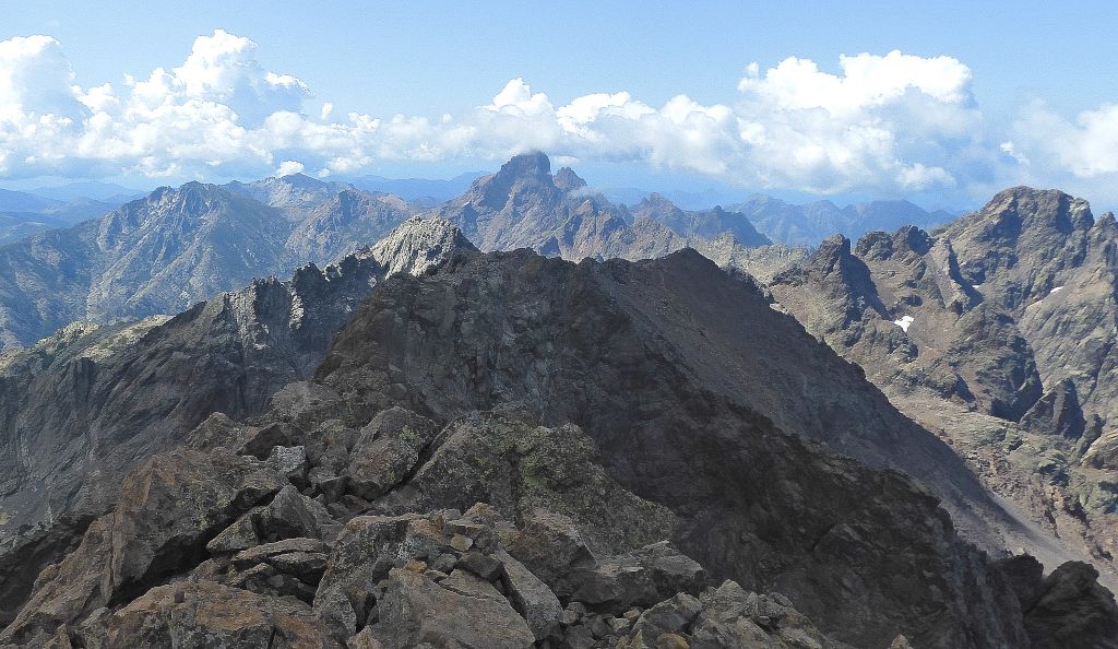
Refreshed, we then continue our ascent towards the south-east. Further along the route, we would almost have overlooked the small Lac d'Argento to our left, situated here at around 2,300 m. The path now turns south-west and winds relentlessly steeply through the coarse scree of Monte Cinto’s northern flank up to the Pointe des Éboulis. Here the ascent route branches off from the GR 20. The summit of Monte Cinto is already clearly visible to the north-east. However, including the counter-ascent, we are still 200 strenuous metres of elevation gain away from Corsica’s highest point.
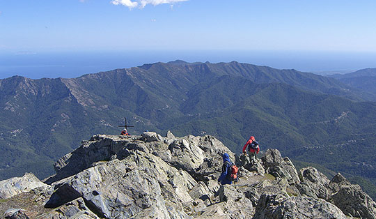
We treat ourselves to a short break and then follow the signpost to Monte Cinto heading east. Initially, the path leads us along the south side of the ridge to a secondary summit, from which the route descends steeply over boulder fields. There are many summit-seekers out and about today, which makes navigation easier. Amongst the huge boulders, the pale red markings are not always immediately visible. We traverse a short distance eastwards before climbing again and, shortly afterwards, reach the spacious summit area. Another short climb and we stand next to the summit cross of Monte Cinto, at the highest point in Corsica!
To the south-west, the Paglia Orba, the Queen of Corsica, dominates the panorama; a little further to the right, to the west, the nearby Punta Minuta catches the eye. To the south-east, Lac de Calacuccia is clearly visible. The sea and the bay near Calvi can also be seen to the north-east, to the right of A Muvrella.

For the descent, we take the same route back down to Haut-Asco.
No places for refreshments along the way. At the starting point are the Refuge Asco-Stagnu, tel.: +33 (0)495 517 910, and the Hotel Le Chalet, tel.: +33 (0)495 478 108.
| Elevation | Time | Total | Destination | ||
|---|---|---|---|---|---|
| 1422 m | - 2300 m | + 3:30 | 3:30 | Lac d'Argento | |
| 2300 m | - 2607 m | + 1:00 | 4:30 | Pointe des Éboulis | |
| 2607 m | - 2706 m | + 1:00 | 5:30 | Monte Cinto | |
| 2706 m | - 2607 m | + 0:45 | 6:15 | Pointe des Éboulis | |
| 2607 m | - 2300 m | + 0:45 | 7:00 | Lac d'Argento | |
| 2300 m | - 1422 m | + 2:15 | 9:15 | Haut-Asco | |