


 Mangfall Mountains
Skistadion car park (760 m) – Bockhütte (1052 m) – Reintalangerhütte (1369 m) – Knorrhütte (2052 m) – Zugspitzplatt (rack railway, glacier railway) (2576 m) – Zugspitze (2962 m)
The route via the Reintal to the Zugspitze is just under 22 kilometres long, and involves a total ascent of 2250 metres. The ascent to the Reintalangerhütte is easy, after which it is of medium technical difficulty and quite steep. The via ferrata from Zugspitzplatt to the summit requires sure-footedness, but can be managed by experienced mountaineers without a via ferrata set. This section can also be bypassed by using the glacier cable car. It is recommended to split the tour over two days with an overnight stay at the Knorrhütte or the Reintalangerhütte.
From Munich, take the A95 motorway to the end of the motorway at Eschenlohe, then continue on the B2 to Garmisch. Stay on the B2 through the town and, on leaving the town, turn right towards the signposted car park at the Olympic Ski Stadium.
Take the train from Munich or Innsbruck to Garmisch. From there, continue either on foot or by bus (lines 1 or 2) to the ‘Skistadion’ stop (timetable and booking).
47.70444100, 11.71350700
Anzeige
The long ascent through the Reintal valley to the Zugspitze is technically the easiest way to reach Germany’s highest point. Nevertheless, the ascent should not be underestimated: on the one hand, the route is notorious for being a long slog simply due to its sheer length; on the other hand, you will by no means find only boring forest tracks here – on the contrary, on the final few metres of ascent you even have to tackle a via ferrata, which, although easy, nevertheless requires sure-footedness and a head for heights. However, both difficulties can be easily mitigated. You can therefore split the route into two days, or even three if necessary, with an overnight stay at the Reintalangerhütte or the Knorrhütte. Those wishing to avoid the via ferrata at the end of the tour can simply take the cable car to cover the final 400 metres of elevation gain from the Zugspitzplatt to the summit.
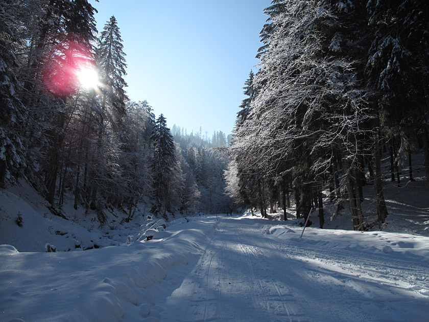 From the car park of the Olympic Ski Stadium in the west of Garmisch, we first walk south along the tarmac Wildenauerstraße. Passing the ski jump, visible from afar, we reach the Partnach after a few minutes, along whose banks we will be walking for the next few hours. It takes us just under half an hour to reach the entrance to the wild and romantic Partnach Gorge. There, we first have to pay an entrance fee of 5 euros per person. As on the tour to the Eckbauer, a short while later we walk just above the wildly babbling Partnach, past waterfalls, pools and rapids, through the gorge, which is often only a few metres wide.
 At the exit of the Alpine canyon, after a few metres we come across a tributary of the Partnach, the Ferchenbach. We cross this and now follow the signposts to the Reintalangerhütte and the Zugspitze. We head south-west along a forest path that is initially rather unspectacular. The distance from the Partnach also increases slightly on this section. After passing a memorial stone for a boy who died in an accident, however, we hear the mountain stream splashing below us once more. We leave the turn-off to Schachen on our left and, after a total of about 2½ hours, reach the Bockhütte, which beckons with a refreshing morning pint.
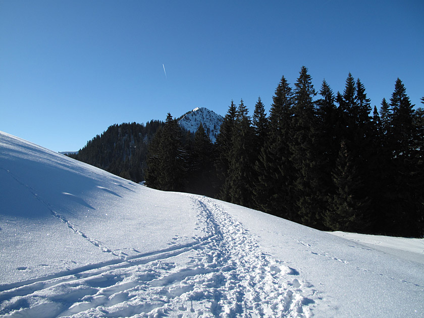
 Passing the gravel banks in front of the Bockhütte, we hike deeper into the Reintal along the northern bank of the Partnach. Further south, the rock faces rise ever higher into the sky. After all, hidden from our view at their end lies Germany’s second-highest mountain, the 2,744-metre-high Hochwanner. The path continues to climb only moderately. Here, the Partnach carries a great deal of gravel, which it deposits in the flat part of the wide valley. A waterfall, situated a short distance from the path, heralds the ascent to the Upper Reintal. The path winds its way up the mountain, climbing gently, to the north of this natural spectacle. After the ascent, we walk once again directly along the bank of the mountain stream and reach the beautifully situated Reintalangerhütte just under 10 minutes later.
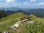
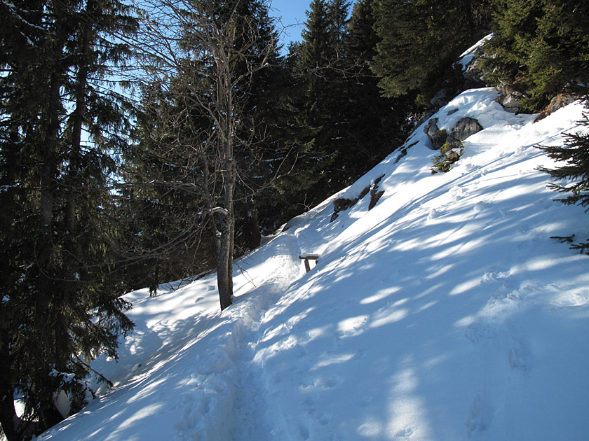
Fehler: Das Bild Nr. 30 ist nicht im Querformat.We also use the Reintalangerhütte for a rest, as the bulk of the day’s ascent still lies ahead of us. Although we cannot use the hut’s beautifully situated outdoor area due to light drizzle, we feel comfortable inside the building too. Refreshed, we then set off to tackle the next stage: the ascent to the Knorrhütte. The path remains flat at first. Before reaching the end of the valley basin, we have to decide whether to continue climbing to the right, heading north past the source of the Partnach, or to stay on the main path. We opt for the latter and, roughly where the paths converge again, pass a marble plaque dedicated to the “Reintalpeople”, which has been affixed to one of the numerous large rocks in memory of “Sherpa Ang Gyalzen”. The route now turns north-west and becomes significantly steeper. For a long time, we are denied a view of the Knorrhütte. About 2½ hours after setting off from the Reintalangerhütte, the building finally comes into view. Happy to have reached our overnight accommodation, we cover the last few metres and look forward to a convivial evening in the hut.
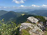
Fehler: Das Bild Nr. 38 ist nicht im Querformat.Although in September 2017 we were met with a blanket of snow just above the hut the following day, the weather is significantly better than the day before. Well-rested, we walk on, initially quite steeply over scree slopes, up towards the Zugspitzplatt. Soon the path branches off to the right via the Brunntalkopf to the Jubiläumsgrat, which we ignore, however. Our route continues westwards through the Weiße Tal. Before long, the steel cables of the glacier cable car come into view, and the Schneefernerhaus also becomes visible on the southern flank of the Zugspitze summit slope. The path now becomes increasingly flatter. Even before we reach the Zugspitzplatt and thus the summit station of the rack railway, the final ascent to the summit branches off to the right. Those who prefer to take the cable car for the last stretch can continue on to the valley station of the glacier cable car.
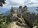
Fehler: Das Bild Nr. 46 ist nicht im Querformat.We keep to the right and climb steeply up to the Schneefernerhaus. A short way above the research station, the via ferrata begins in the rocks. Following the wire rope, we soon reach the ridge, which also marks the border between Austria and Germany. In addition to the magnificent view of the Zugspitzplatt, the view to the west now opens up. We climb the final few metres of elevation to a steel staircase. At the top of these, the natural mountain landscape comes to an abrupt end. Passing Germany’s highest souvenir shop, we walk to the Münchner Haus. Before indulging in the culinary delights there, however, we pay a visit to the summit, located a few metres to the east.
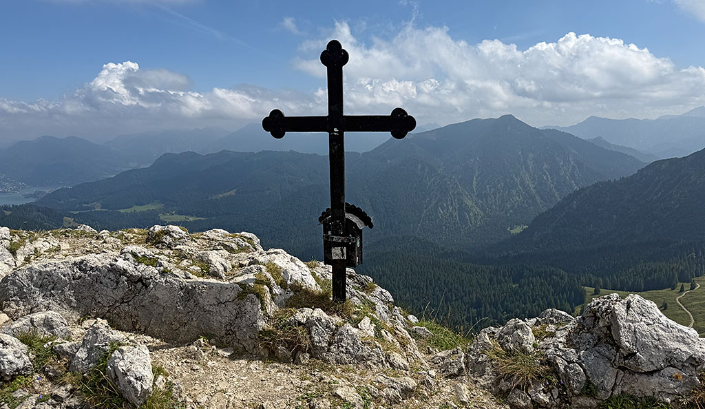
 A To reach Germany’s highest point, we need to lend a hand once more. A rope-secured path leads the final few metres to the golden summit cross with its distinctive sphere. Despite the hustle and bustle on the viewing platforms, we can enjoy our summit success and the view. To the north-east, the Große Waxenstein beckons, as does the Jubiläumsgrat running eastwards. Both routes, however, are considerably more difficult than the one we have just completed. On the way back to the Münchner Haus, we take a final look at the colourful Eibsee before settling down for a well-deserved snack.
For the descent, we choose the Gletscherseilbahn or, alternatively, the Eibsee-Seilbahn (for information and timetables). At Zugspitzplatt or Eibsee, we change to the Zugspitzbahn and take it to the ‘Garmisch-Partenkirchen Hausberg’ station. From there, it is a half-hour walk to the car park at the ski station (downhill journey €46 per person / as of 2026).
| Elevation | Time | Total | Destination | ||
|---|---|---|---|---|---|
| 865 m | - 1266 m | + 1:30 | 1:30 | Aueralm | |
| 1266 m | - 1564 m | + 1:00 | 2:30 | Fockenstein | |
| 1564 m | - 1328 m | + 0:35 | 3:05 | Neuhüttenalm | |
| 1328 m | - 1266 m | + 0:25 | 3:30 | Aueralm | |
| 1266 m | - 865 m | + 1:15 | 4:45 | Sonnenbichl | |


