
 Rondane-Gebirge
Easy 3¼-hour, 8.8 km hike with a manageable elevation gain. The circular walk follows narrow, well-marked paths.
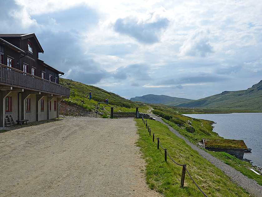
Take the E6 from Oslo towards Trondheim; leave the E6 between Otta and Dovre (signposted ‘Høvringen, Rondane’). Drive up the tarmac road to Høvringen and keep right at the fork at the entrance to the village. After 1.9 km, in the mountain farm settlement, the toll road to Smuksjøseter Fjellstue branches off to the right in a left-hand bend below the red hotel (Rondane Haukliseter Fjellhotell). Drive along the good, wide track (toll 30 NOK, as of 2014) to Smuksjøseter Fjellstue on Lake Høvringsvatnet and park your car there.
61.88805372, 9.57293565
Anzeige
When travelling through the villages around the Rondane Mountains, you will come across the name Peer Gynt – from Henrik Ibsen’s famous play of the same name – in many places. So, of course, a visit to the Peer Gynt-hytta is almost a must. The quickest way to reach this small hut in the western part of Rondane National Park is from Kampen. The walk from the car park to the Peer Gynt-hytta takes a good hour from there. The hut is open during the Easter holidays and the summer holidays (see opening times). If the hike is too short for you, it’s better to start at Smuksjøseter Fjellstue near Høvringen. This scenic route, which takes us past small mountain lakes and the Imbertglupen canyon, can be extended into a delightful loop by returning via the southern Kjondalen.
 We start our hike at the car park in front of Smuksjøseter Fjellstue and walk south-east past the hostel. After passing the building, we go through a gate and reach a signpost. Now we continue straight ahead (“Peer Gynt-hytta 4 km”). We follow the shore of Høvringsvatnet for a short while and then continue south-eastwards. After a gentle climb, the narrow and well-marked path takes us to the next small mountain lake, Upper Høvringsvatnet. We pass the eastern shore of the lake and walk down a gentle slope to Søre Høvringsvatnet.
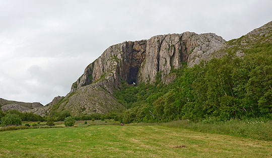
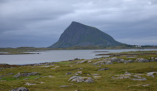
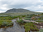
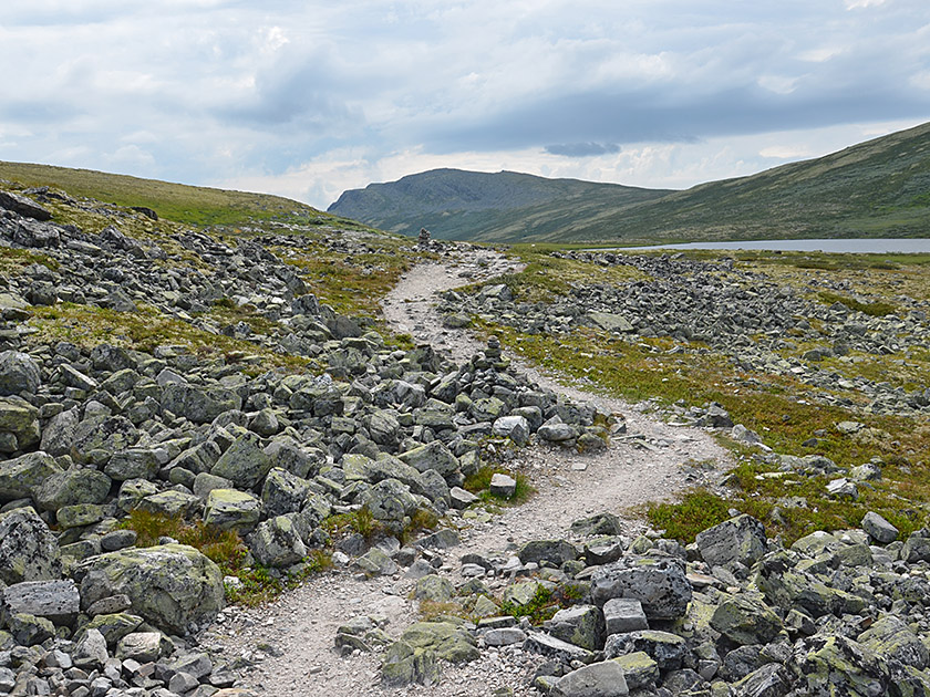 As soon as we reach the shore of the small lake, our path curves to the left and we follow the shore in a north-easterly direction. Ahead of us, we can now see the Bråkdalsbelgen massif, which towers impressively over the vast plateau of the western Rondane Mountains. Once we have left the lake behind us, our path turns to the right (eastwards).
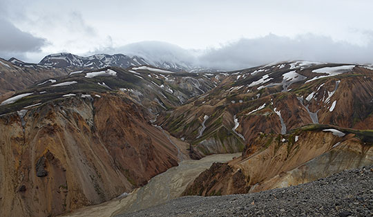
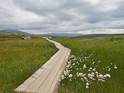
We cross a marshy meadow covered in cotton grass via a wooden footbridge. We then cross the small stream of the Søre Kjondalsbekken via a narrow wooden bridge. Shortly afterwards, we reach the river Vesle Ula, which rushes its way through the Imbertglupen canyon.
As soon as we reach the shore of the small lake, our path curves to the left and we follow the shore in a north-easterly direction. Ahead of us, we can now see the Bråkdalsbelgen massif, which towers impressively over the vast plateau of the western Rondane Mountains. Once we have left the lake behind us, our path turns to the right (eastwards).
We cross a marshy meadow covered in cotton grass via a wooden footbridge. We then cross the small stream of the Søre Kjondalsbekken via a narrow wooden bridge. Shortly afterwards, we reach the river Vesle Ula, which rushes its way through the Imbertglupen canyon.
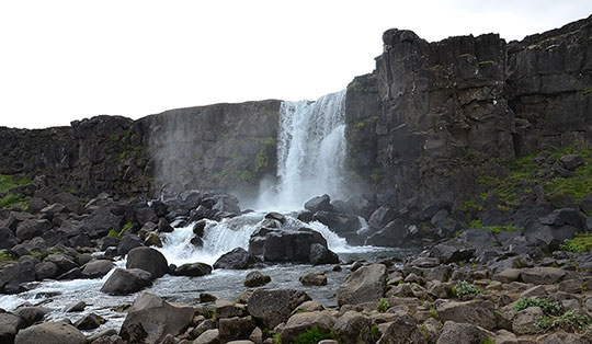
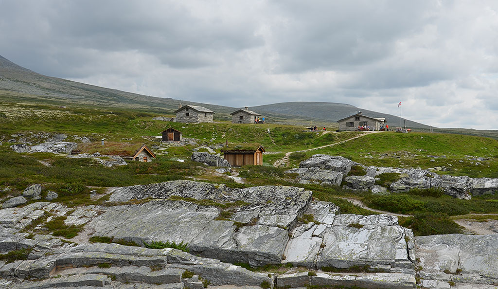
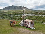
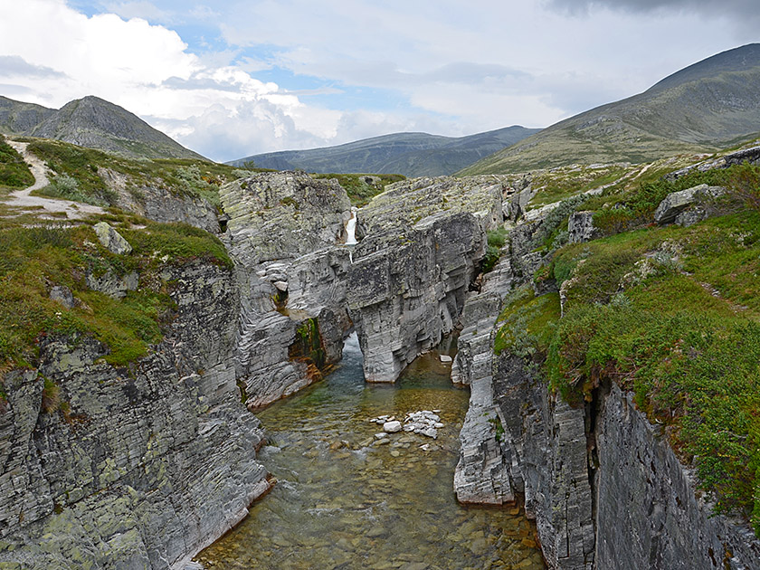 We follow the canyon a short distance to the right (south) and after a few steps come to a narrow wooden bridge. We now cross the Vesle Ula and reach the small huts in front of the Peer Gynt-hytta. Overnight stays are available in the stone and wooden huts around the main hut, subject to prior booking. Each of the tiny huts with their grass-covered roofs can accommodate two to four people. We walk between the huts and shortly afterwards reach the Peer Gynt-hytta (1½ hours from Smuksjøseter Fjellstue). The waffles with cream and jam, freshly prepared there, are particularly popular and in high demand.
 We cross the Vesle Ula river again and turn right after the bridge. We now follow the Imbertglupen canyon northwards. After a few minutes, the path leads us away from the canyon in a north-westerly direction. We hike across the wide plateau, climbing gently north-westwards. After about 45 minutes, we cross a stream in southern Kjondalen and reach a fork in the path. We now turn left (signposted “Smuksjøseter 2.2 km”) and hike uphill towards the saddle between the northern and southern Solsidevassberget. We pass two small mountain lakes and, after the saddle, descend steeply to Smuksjøseter Fjellstue (1¾ hours from Peer Gynt-hytta).
Same as ascent.
| Elevation | Time | Total | Destination | ||
|---|---|---|---|---|---|
| 1130 m | - 1100 m | + 1:30 | 1:30 | Peer Gynt-hytta | |
| 1100 m | - 1130 m | + 1:45 | 3:15 | Smuksjøseter Fjellstue | |