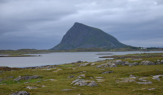


 Hallingskarvet
A moderately difficult 6.6 km mountain hike requiring sure-footedness. The circular walk leads from Prestholtseter up a path built with numerous stone steps to the Prestholtskaret saddle. The onward route via Skarvsenden and the first part of the descent leads down over stony and scree-covered paths and later along meadow paths with short marshy sections down to the toll road. The circular route is well marked and signposted.
From Oslo, take the E18 towards Kristiansand to Sandvika, and from there take the E16 to Hønefoss. From Hønefoss, follow Route 7 via Gol to Geilo. In Geilo, turn right after the Esso petrol station towards Havsdalen, go under the railway tracks and drive uphill along Havdalsvegen. In a left-hand bend, turn right towards Prestholt. After the toll station (toll 40 NOK, as of 2017; the toll must be paid in cash and the exact amount placed in an envelope), follow the unpaved but good track up to Prestholtseter and park your car at the hut by the large car park. The toll road is normally open from 1 July.
Geilo can be reached from Oslo or Bergen via the Bergen Railway (see timetable). From Geilo station, it takes 3 hours on foot to reach the starting point at Prestholtseter (11.4 kilometres and 487 metres of elevation gain).
60.54937192, 8.06896918
Anzeige
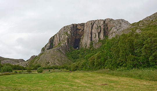
On the eastern edge of Hallingskarvet National Park lies the Prestholtseter mountain hut, accessible via a toll road. The popular and fully signposted Prestholtrunden trail begins right at the hut. This circular walk, offering exceptional views, takes us from the mountain hut up a path laid out with countless stone steps to a vast high plateau, the highest point of which is marked by Prestholtskarvet (1,859 m). However, the Prestholtrunden bypasses this peak and leads us over rocky terrain to a viewpoint at Skarvsenden. From here, we enjoy the view of the Hardangervidda before the path takes us down over scree to the foot of the massif and back along meadow paths to the toll road. We then follow this back to the Prestholtseter mountain hut, where we can refuel with sandwiches, cakes and fresh waffles.
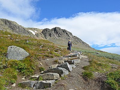
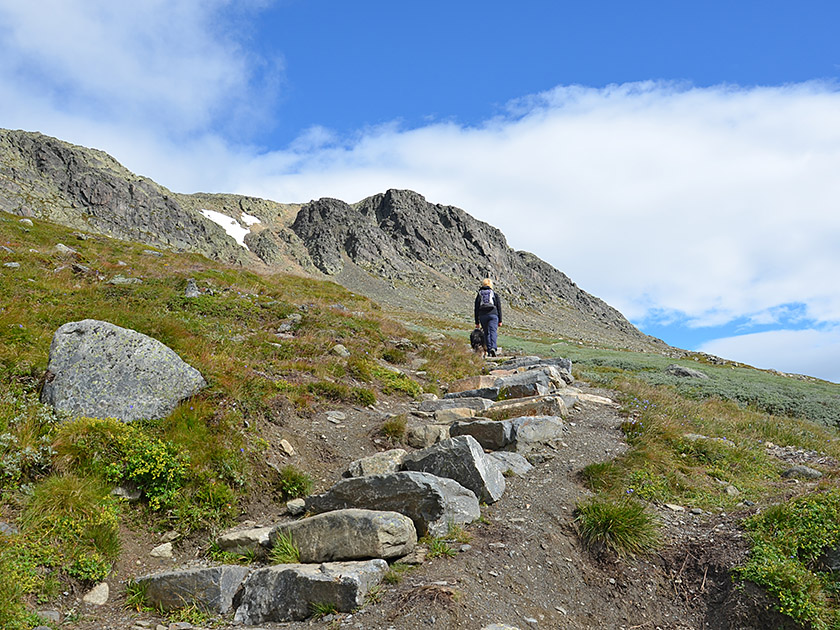 From the car park at the Prestholtseter mountain hut (1,242 m), we follow the track further westwards. After a 10-minute walk, we come to the signposted turn-off for Prestholtskaret on the right. We therefore turn right and follow the path, built with countless stone steps, as it winds its way uphill. The higher we climb, the more expansive the views become. To the south-west, we look out over the waters of Ustevatn towards Hardangervidda. Our ascent route, which is initially lined with grassy patches and heather, later winds its way through scree towards the Prestholtskaret saddle. In the final metres, the path becomes really steep and after a total of just over 1¼ hours we reach the Prestholtskaret saddle (1600 m).
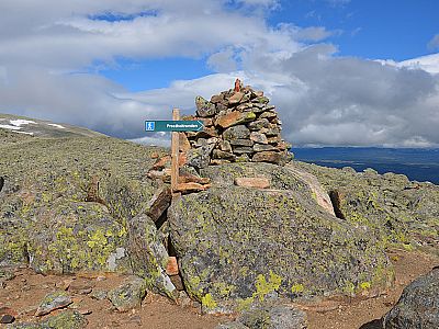
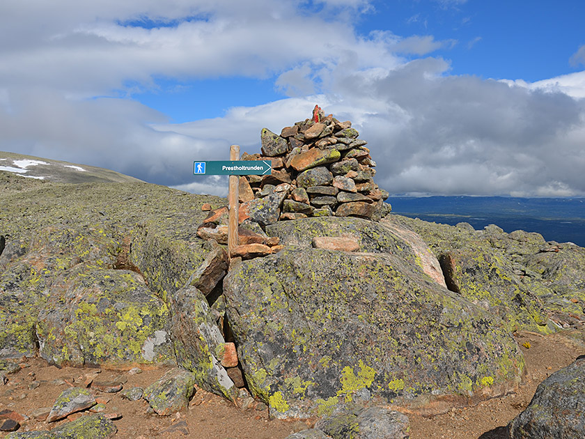 From the saddle, we look out over a vast plateau strewn with scree and boulders. To our left rises Prestholtskarvet, the highest point of the massif. This can be reached from the saddle in just under an hour. To do so, you must cross a snowfield that persists well into the summer on the high plateau. To continue on the Prestholtrunden route, which bypasses the summit of Prestholtskarvet, we follow the red markings across boulder-strewn terrain towards the north-east. The path first leads us across the plateau on level ground and then up a moderate slope to the viewpoint at Skarvsenden, which is marked by a large cairn (25 minutes from Prestholtskarvet). At this viewpoint, we have also reached the highest point (1,690 m) of the Prestholtrunden.
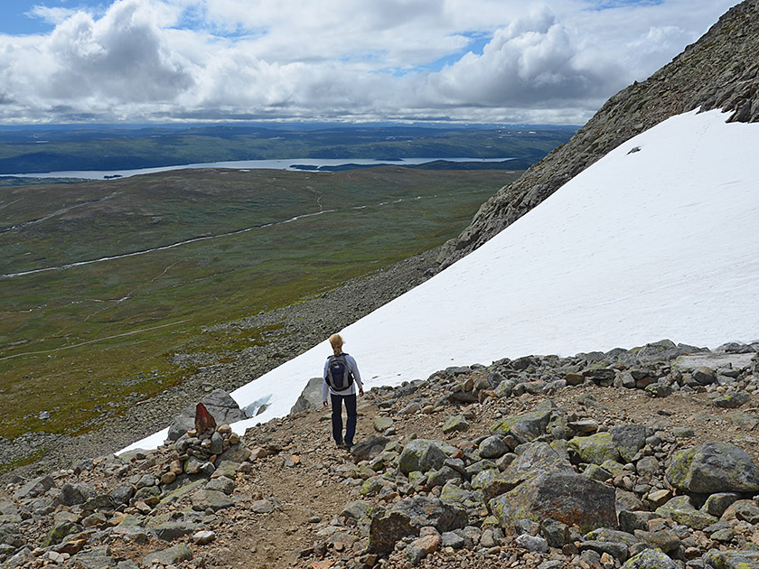 From Skarvsenden, we follow the red markings eastwards over boulders, steeply downhill to a plateau. We cross this, following the cairns and the clear markings. After a gentle left-hand bend, we descend again more steeply over a scree slope heading eastwards. During the descent, the route first curves to the left and, after a right-hand bend, leads us down into a hollow. There we turn right (south) and reach a saddle. From here, the stony path leads us steeply down the boulder-strewn flank in a general south-easterly direction, with views of the Prestholtseter mountain hut, via numerous hairpin bends. Once we reach the foot of the scree slope, we come across a signpost and turn left (east).
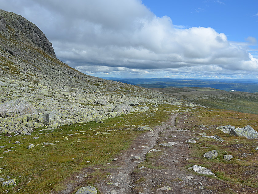 We now follow a meadow path at the foot of the massif, continuing eastwards. In doing so, we move away from the Prestholtseter again. Later, we cross several fields of large boulders and, 1¼ hours after setting off from Skarvsenden, reach Dyregrav (1,340 m). There is a sign there describing how reindeer were caught using the pit as far back as 10,000 years ago. Shortly after Dyregrav, we come across another signpost. Here the path turns right and a meadow track leads us southwards towards the toll road. We pass through partly marshy terrain; some sections of the path have been laid with wooden planks. After just under half an hour we reach the toll road. We turn right and follow the road for a further 20 minutes back to Prestholtseter.
Prestholtseter (1242 m), Tel. +47 959 47 626.
| Elevation | Time | Total | Destination | ||
|---|---|---|---|---|---|
| 1242 m | - 1600 m | + 1:20 | 1:20 | Prestholtskaret | |
| 1600 m | - 1690 m | + 0:25 | 1:45 | Skarvsenden | |
| 1690 m | - 1340 m | + 1:15 | 3:00 | Dyregrav | |
| 1340 m | - 1242 m | + 0:45 | 3:45 | Prestholtseter | |