

 Pembrokeshire
A gentle coastal walk of just under 10 kilometres, taking you along meadow paths, narrow tracks and briefly along a tarmac road. Keep a safe distance from the steep coast and cliffs throughout the walk. Take care in foggy conditions!
From Cardiff, take the M4 past Swansea and continue via the A48 and A40 to Haverfordwest. From Haverfordwest, head via Dreenhill to Marloes. Follow the road through the village and continue to the large pay-and-display car park at Martin’s Haven (parking fee £6, as of 2019).
51.73463665, -5.24311781
Anzeige
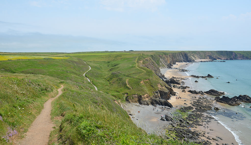
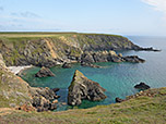
The Marloes Peninsula in Pembrokeshire is criss-crossed by a network of marked walking trails. Starting at the car park at Martin’s Haven and linking all the paths together, you can enjoy a circular walk of just under 10 kilometres that offers plenty of variety. We first pass along the southern side of the peninsula and follow the rugged cliffs past Gateholm Island to the popular Marloes Sands. Here on the sandy beach, which served as the backdrop for the 2011 Hollywood film Snow White and the Huntsman, a refreshing dip in the cool water beckons before we leave the south coast and continue our walk to the north coast. Following this, we reach Martin’s Haven. From the bay, we finally climb up to Wooltrack Point, the north-westernmost tip of Marloes. From there, we enjoy the view across to the island of Skomer. Between April and September, boats run from Martin’s Haven to Skomer. There, you can spot puffins and, with a bit of luck, seals too. Anyone planning a crossing should arrive at Martin’s Haven early. For conservation reasons, only 250 tickets are sold per day (further information and timetables).
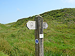
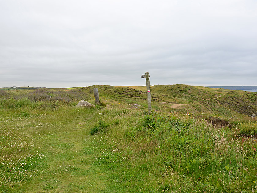
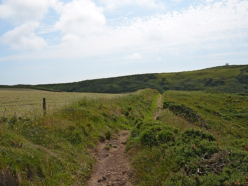
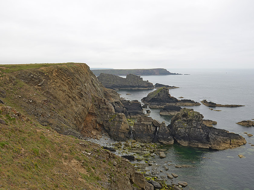 On the west side of the car park at Martin’s Haven, we come across an information board showing the marked walking trails on the Marloes peninsula. We turn south and walk along a stone wall to a gate, which we pass through. After the gate, we maintain our general direction and follow the meadow path southwards, parallel to the coast. We keep a safe distance from the steeply sloping coast at all times. In the distance, we can see the island of Skokholm. Later, the path turns slightly to the left (south-east). The winding meadow path takes us south-eastwards along the coast to a fork. Here we turn right and follow the pink arrow. The coastal path continues to wind south-eastwards, leading us towards the island of Gateholm.
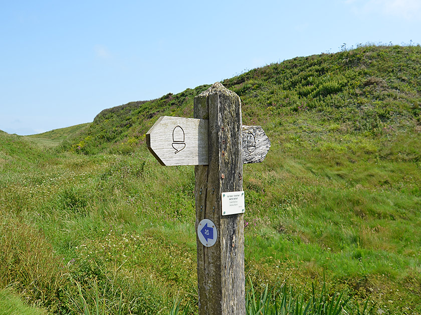
 At Gateholm, our path curves to the left and turns north-east. Shortly afterwards, we come to another junction. Here, we leave the pink path, continue straight ahead and follow the green arrow. The coastal path takes us to the next junction. We stay close to the coast and thus take the blue path. Ahead of us, we can already see the sandy beaches of Marloes Sands. After a short climb and a longer descent, we reach a junction near Marloes Sands. It’s worth stopping here to visit the beach and take a short break. To continue directly, we keep slightly to the left and take the slightly wider gravel path (blue arrow), which leads us eastwards uphill at a moderate gradient and thus away from the coast.
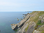
 A little later, the path bends to the left and leads us north-west past a house to a crossroads. Here we turn left and follow the road to the Marloes Sands car park. We walk across the car park in a right-hand curve and reach a crossroads heading north. Here we turn left onto the tarmac road and follow it past Treehill Farm towards the west. Shortly after the farm, a path branches off to the right of the road (pink arrow). We follow the path northwards along a hedge and reach the north coast. There we pass through a culvert, then turn left and walk along the coastal path towards the west. We pass several beautiful coves and spot the Old Coastguard’s Hut ahead of us, perched on a hill above Martin’s Haven.
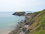
 After a right-hand and a left-hand bend, the coastal path leads us down to Martin’s Haven. At the harbour, we turn left onto a wide track that leads us uphill in a southerly direction. As soon as the track curves to the left, we turn right onto a path. We follow this, keeping to the right, and eventually head north-west uphill to the Old Coastguard’s Hut. At the hut, we keep diagonally to the left and head eastwards towards Wooltrack Point. We climb the small, rugged hill via a narrow path and enjoy the wonderful panoramic view over Marloes and towards the island of Skomer. We leave Wooltrack Point via the same route we came, but keep to the right at the fork and follow the coastline southwards. After a right-hand bend, the path turns eastwards and leads us back to the gate not far from the car park. Here we turn left and walk back along the same route to the starting point.
No places for refreshments along the way. In the summer, there is often a food van at the Marloes Sands car park, and in the village of Marloes there is The Lobster Pot pub.


