
 Þingvellir National Park
A 2½-hour, 8.1 km circular walk leading along wide tracks and narrow paths. The route involves a total elevation gain of 125 metres via a series of gentle ascents.
From Reykjavik, take Ring Road No. 1 north-east and turn right onto Road No. 36 at Mosfellsbær. Follow this for 29.2 kilometres and then turn right towards the Þingvellir Visitor Centre (signposted). Park your car in the large car park at the visitor centre.
64.25558128, -21.13052971
Anzeige
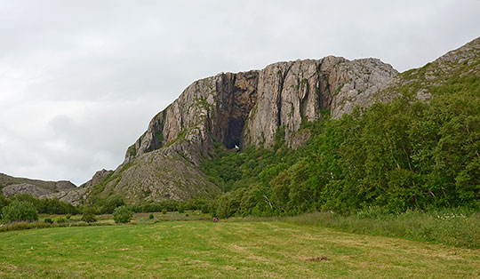
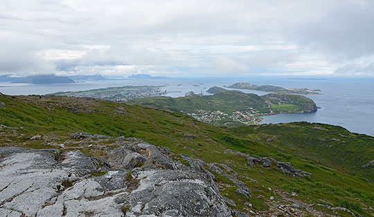
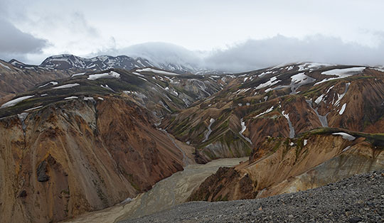
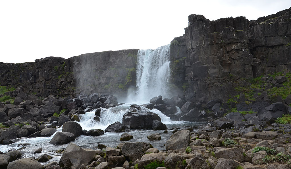
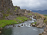
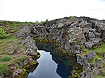
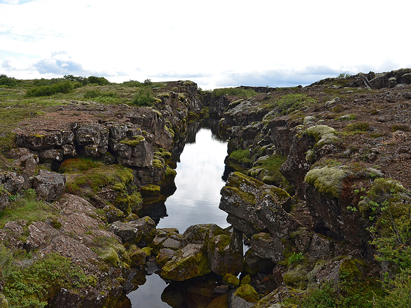
The historically significant site of Þingvellir (pronounced like the English ‘think’ followed by ‘wetlir’) is one of Iceland’s most famous attractions. Public assemblies have been held at Þingvellir since around the year 930. These assemblies, known as the Althing, took place until the end of the 18th century and served both as a legislative body and a court of law. In 1944, the Democratic Republic of Iceland was proclaimed at Þingvellir. However, the site is of interest not only for historical reasons but also, and particularly, from a geological perspective. Þingvellir is considered the geological boundary between America and Europe. At this point, the North American and Eurasian tectonic plates drift apart by approximately 2 cm each year. Anyone exploring the area around Þingvellir on foot and hiking down from the visitor centre into the Almannagjá gorge can examine the fissures and cracks formed by the plates drifting apart. A detour to the impressive Öxarárfoss waterfall and the small viewing hill near the former Skógarkot farmstead is also a must.
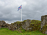
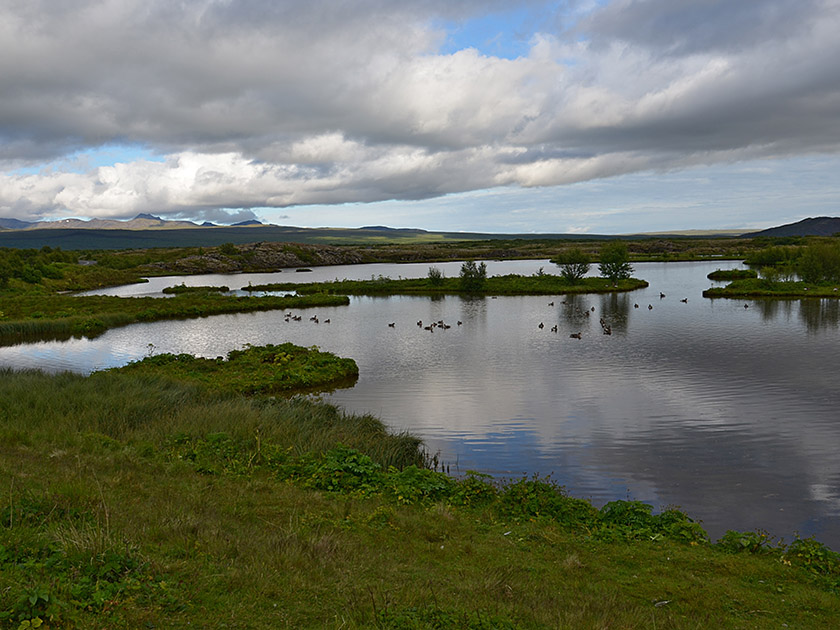
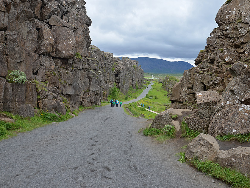 From the starting point, we walk past the visitor centre on the right and first visit the viewing platform at the eastern end of the car park. From there, we can enjoy a beautiful view over Lake Þingvallavatn. We then leave the platform and walk down the wide, railing-protected path in a north-easterly direction into the Almannagjá gorge. During the descent, we can already see Lögberg ahead of us, adorned with a flagpole. At Lögberg, the so-called Law Rock, the texts of the laws used to be read out.
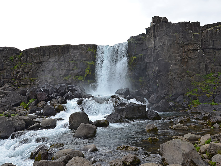 Lögberg can be bypassed on both its left and right sides, though the right-hand route is by far the more scenic and offers better views. From here, there is a lovely view across the River Öxará to Þingvallakirkja, the church of Þingvellir. As soon as the two routes meet again, the path leads us out of the gorge. We continue north-eastwards and pass a car park. At a fork in the path, we keep to the left and walk up towards the walls of the gorge. There we come to a cross-path, turn left and shortly afterwards reach the Öxarárfoss waterfall.
 From Öxarárfoss, we walk back along the same route to the junction we know and continue straight on through the gorge towards the north-east. At the next junction, we keep to the right and walk down to a tarmac road. We cross the road and follow a path (signposted ‘Skógarkotsvegur’) in a south-easterly direction, past a water-filled crevice, to Road No. 361. We cross this road too and continue along the path towards the south-east. We pass through another gorge and then head towards the small hill near the former Skógarkot farm. We climb the small hill via a meadow path and enjoy the view over Þingvellir.
 For the return journey, we descend from the hill via the same route and, at the next fork, take Gönguvegur diagonally to the left towards Þingvallabær. We now walk south-west and later west, passing the wide crevice once more. Shortly afterwards, we cross Road No. 361 and walk across a car park. In a left-hand bend, we walk past Þingvallakirkja church, follow the river Öxará and come to a crossroads. We now turn right and cross the Öxará. After the bridge, we continue straight ahead and, via a narrow path on a slight incline, reach the familiar wide path that leads through the Almannagjá gorge. We turn left and eventually walk back up to the car park.
No places for refreshments along the way. Drinks and light refreshments are available in the cafeteria at the information centre at the starting point. The information centre is open daily from 9.00 am to 5.00 pm (until 8.00 pm from 1 May to 1 September).
| Elevation | Time | Total | Destination | ||
|---|---|---|---|---|---|
| 145 m | - 124 m | + 0:40 | 0:40 | Öxarárfoss | |
| 124 m | - 140 m | + 0:50 | 1:30 | Skógarkot | |
| 140 m | - 145 m | + 1:00 | 2:30 | Visitor Centre | |