


 Serra de Tramuntana
Font des Pi car park (550 m) – Puig de Galatzó (1027 m)
The route, just over 4 km long, follows mostly good mountain paths. Near the summit, the path becomes rockier for a short stretch and requires sure-footedness.
From Palma de Mallorca, take the Ma1041 westwards towards Puigpunyent. There, turn left onto the Ma1032 and after a good 200 metres turn right onto Cami des Pla des Delme. 500 metres later, turn right again and continue towards the signposted nature reserve ‘La Reserva’. Four kilometres later, the nature reserve is signposted to the left. We stay on the road and continue straight ahead for 2 kilometres. Then take a sharp right onto the bumpy road. After a good 400 metres, we reach the small car park at Font des Pi.
39.62989569, 2.49466896
Anzeige
The ascent from Font des Pi is the shortest route to climb Puig de Galatzó. From the summit of the mountain, which is over 1,000 metres high, the view stretches far across the Serra de Tramuntana, over to Palma de Mallorca and deep into the eastern part of the holiday island. Walking along paths that offer shade only at the start of the tour, you pass a fire station tower on your way to the northern flank of the mountain and from there hike up a path to the summit. On the final few metres, you may need to use your hands a little, but the path isn’t really difficult here either.
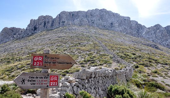
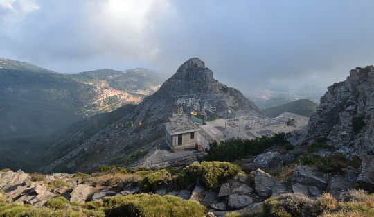
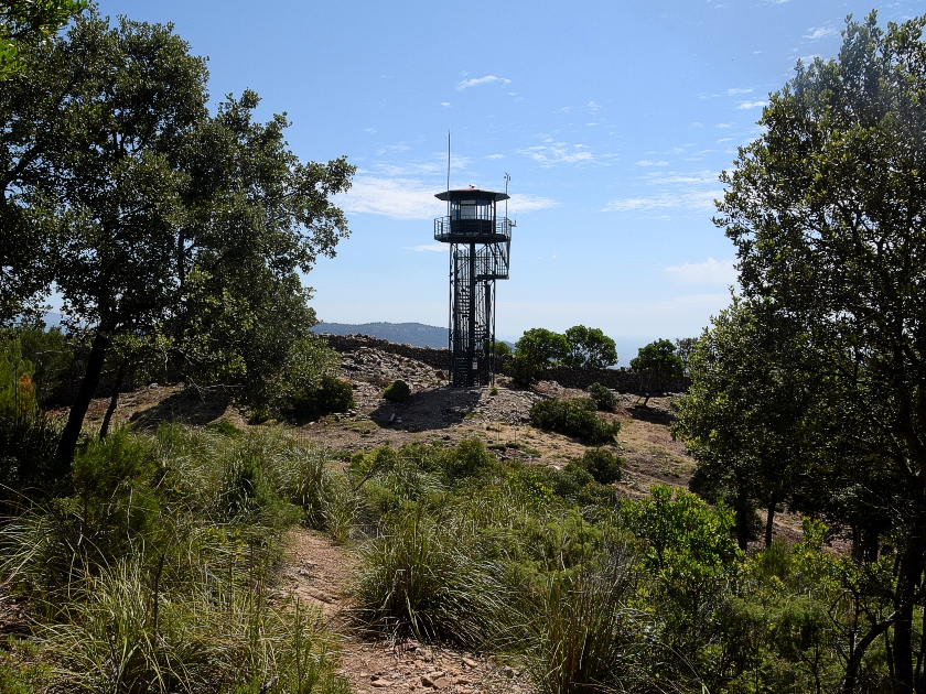 After parking the car at the Font de Pi spring, we start our tour heading north. Initially, the route continues uphill along a wide, rutted forest track. We head briefly west and, a few metres later, turn sharply right towards the north. In the partial shade of the trees, we continue our ascent northwards. About 10 minutes after the turn-off, a tower becomes visible on the left, from which the forests are monitored to detect any forest fires at an early stage. A little later, we reach the saddle with the watchtower and now keep to the left, heading west.
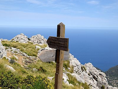
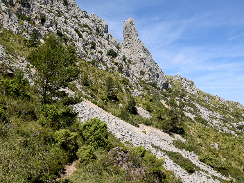 Behind us, to the north-east, the highest mountains of Mallorca – Puig de Masanella and Puig de Mayor, which is reserved for military use – are already clearly visible. To the west, we now head directly towards the rocks of Puig de Galatzó, but before the going gets steeper, we turn right onto the northern flank of the mountain. Without gaining much altitude, we now walk towards a striking rocky peak, the “Es Bisbe”. The path takes us past the rock formation below. A short while later, we come across a signpost telling us that we can reach the summit to the south in 25 minutes’ walking time.
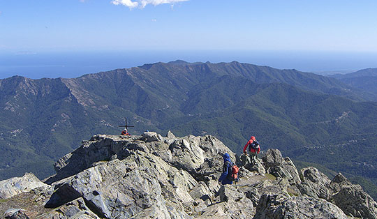
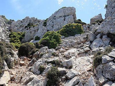
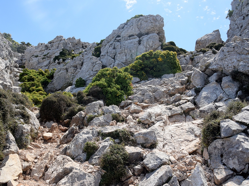 The path now takes us in an arc southwards towards the highest point of our tour. It becomes increasingly rocky and also significantly steeper than the route so far. Even though we have to use our hands for support now and then, we make good progress. At the summit, we climb a final steep section and thus reach the highest point of the southernmost thousand-metre peak in the Serra de Tramuntana without any significant difficulty.
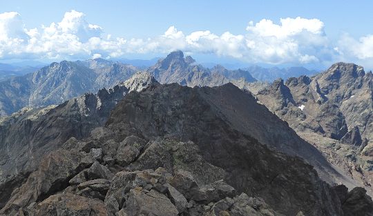
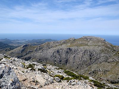
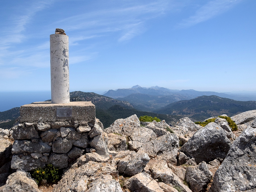 The view from Puig de Galatzó is sweeping. To the north-east, the mighty peaks of the Tramuntana mountains stretch out in a row; to the east, the largely isolated Puig de Randa can be seen in the distance. Slightly to the left of this, in the south-east, one looks out over the bay of Palma de Mallorca. The west is dominated by the stony slopes of the Moleta de s'Esclop. We take our time to soak up the panorama before setting off back down the ascent route to the Font des Pi car park.
Same as ascent.
No places for refreshments along the way. Please bring plenty of water!.
| Elevation | Time | Total | Destination | ||
|---|---|---|---|---|---|
| 550 m | - 1027 m | + 1:30 | 1:30 | Puig de Galatzó | |
| 1027 m | - 550 m | + 1:00 | 2:30 | Parkplatz Font des Pi | |