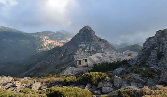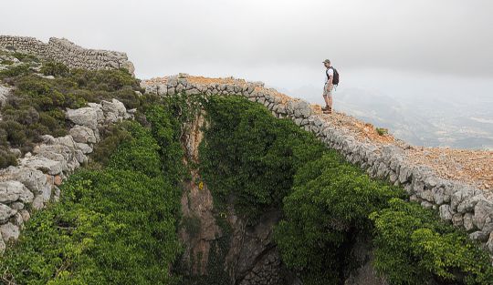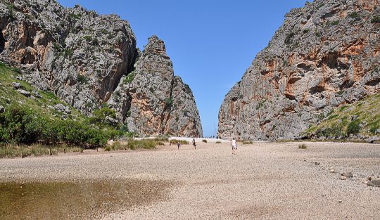

 Corsica
Col de Prato (985 m) – Monte San Petrone (1767 m, also known as San Pedrone)
A moderately difficult and long mountain hike; sure-footedness is required in the summit area.
From the interior of the island, head from Ponte Leccia to Morosaglia and on to Col de Prato; parking is available at the pass.
42.42744797, 9.33136225
Anzeige
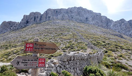
In the heart of the green and wooded Castagniccia region in the east of the island, Monte San Petrone (also known as San Pedrone) rises skywards at Col de Prato. The summit can be reached from the pass in a straightforward hike. As this is a rather long walk, you spend most of the time in shady woods, making this excursion particularly suitable for hot days. Since the mountain forest extends almost to the very top, you can only enjoy the sweeping views once you have reached the summit.
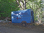
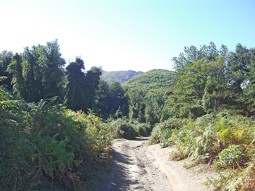 We leave the hiking car park at Col de Prato, cross the pass road and follow the signpost to San Petrone heading south. Initially, we walk along a wide forest track; at a junction, we follow the red markings and then walk through a pine forest. As soon as we leave the coniferous forest and enter a deciduous forest, we pass a blue, dilapidated vehicle bearing the inscription ‘San Petrone’. We continue to follow the red dots and reach a ridge where our path takes a sharp left turn (signpost).
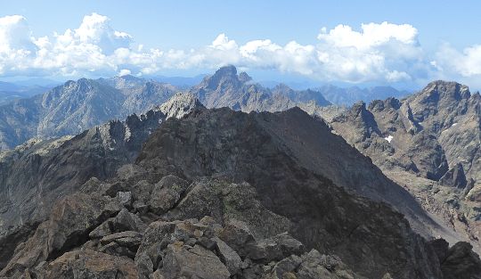
 The ascent now becomes slightly steeper and we gain height more quickly. However, our destination is a long time coming; apart from the forest, there is nothing else to be seen. After two hours, we reach a large clearing. Here, for the first time, we can catch a glimpse of Corsica’s highest peaks inland and also enjoy a few rays of sunshine. A signpost shows us the direction to San Petrone. We now walk across a plateau surrounded by woods and covered in low bushes, whilst the rocky summit of San Petrone comes into view for the first time above the treetops.
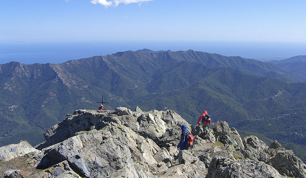
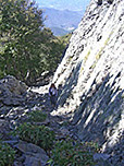
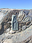
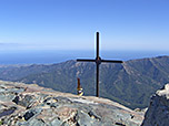
 As soon as we reach the deciduous forest again, the path, which is now also slightly interspersed with rock, becomes increasingly steep. After a short while, we find ourselves right at the base of San Petrone’s summit, where a steep path now leads us up its walls to the top. The summit cross and the sculpture of San Petru are not at the highest point, but this can be reached with a bit of easy scrambling. The seemingly boundless and wonderful view stretches from the highest mountain ranges of Corsica, across the Castaniccia with its small villages, the east coast beyond, to the northernmost part of the island.
Same as ascent.
No places for refreshments along the way. There is a small snack bar at the starting point, which is open during the hiking season.
| Elevation | Time | Total | Destination | ||
|---|---|---|---|---|---|
| 985 m | - 1767 m | + 2:45 | 2:45 | Monte San Petrone | |
| 1767 m | - 985 m | + 2:00 | 4:45 | Col de Prato | |