


 Fuerteventura
Playa del Matorral (0 m) – Pico de la Zarza (807 m)
Easy hike. However, the route is entirely in the sun. Make sure to take plenty of water! Caution is advised at the summit; just behind the summit pillar, the cliffs drop steeply to the south, posing a certain risk of falling.
Pico de la Zarza is located in the Jandía Nature Reserve in the south-west of the island of Fuerteventura. Coming from Costa Calma, follow the FV-2 road via Esquinzo towards Morro Jable. At the start of the Solana Matorral district, there is a roundabout with a striking monument in the centre. Turn right there and park in Calle de Quijote.
28.05452800, -14.32278200
Anzeige
The Canary Island of Fuerteventura is known to many tourists as a surfing and beach paradise. However, it is also increasingly attracting the interest of hikers. The long, secluded beaches invite you to take long walks. Even the highest point on the island, the over 800-metre-high Pico de la Zarza, can be explored as part of an easy hike. To avoid the midday heat, an early start is recommended. However, don’t forget sun cream and water on the hike!
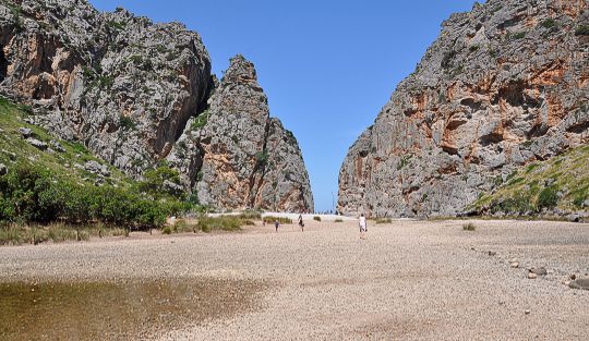
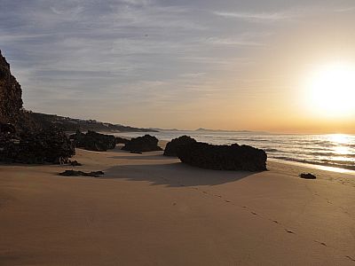
 The actual hike begins right at the roundabout with the hard-to-spot modern sculpture. Before we set off, we pay a visit to the Solana Matorral lighthouse and enjoy the sunrise over the sea. In the early morning hours, the beach is still deserted. The rocks jutting out from the beach to the north-east are particularly picturesque. Back at the roundabout, we start our walk by heading slightly uphill along Calle el Quijote towards the north-west. After about 200 metres, we turn left onto Calle Sancho Panza. We circle round a hotel complex in a wide arc and then leave the tarmac road to the right. The summit is already signposted here.
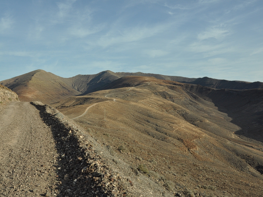 The route then takes us along a wide gravel track, mostly gently ascending, straight towards the highest point of Fuerteventura. To the east, the tourist resort of Esquinzo is now also visible. We can still clearly make out our starting point, the Jandia lighthouse. Apart from a few lichens and all manner of prickly bushes, hardly any plants manage to thrive in the harsh conditions of this barren desert landscape. Only as we gain altitude does the vegetation become a little more varied again.
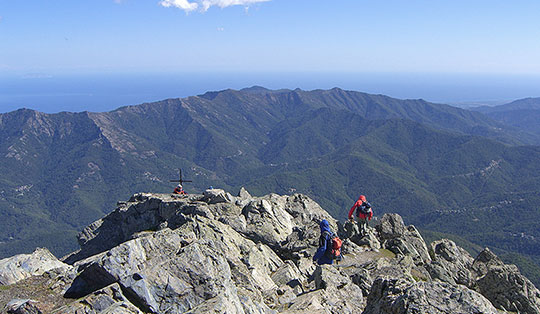
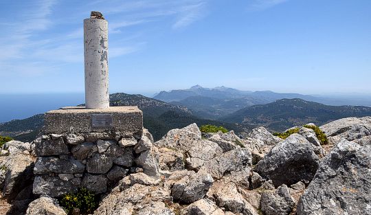
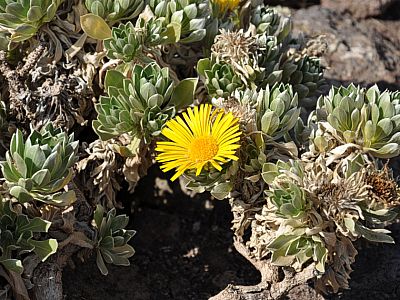
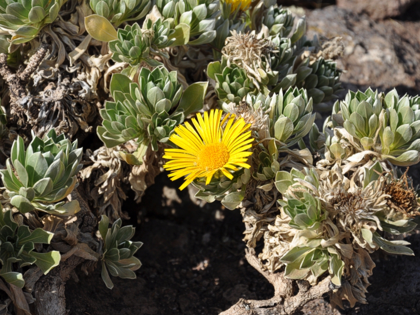 Along the way, we are frequently watched by curious goats. After about 6 kilometres, the gravel track ends and the road becomes a path, lovingly marked out with larger stones. A sign provides information about the island’s formation and the plants found partly only here in Jandía Nature Park, such as the Canary Island starwort (Asteriscus sericeus). About fifteen minutes later, we reach the fenced-off summit area. The fence serves to protect the few plants from the goats’ hunger. Five minutes later, we stand at the highest point of the island.
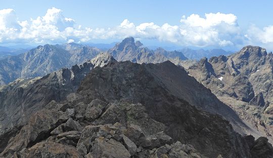
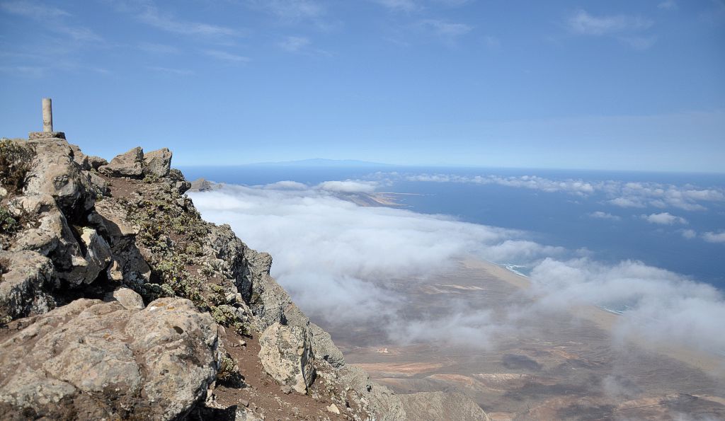
 At first, mighty clouds still loom over the western side of the island. Later, however, the view of Cofete and the legendary Villa Winter clears. The neighbouring island of Gran Canaria is also clearly visible to the west. A little further to the right, in good weather, you can even see the summit of Pico de Teide, 224 kilometres away. At 3,718 metres, the mountain on Tenerife is not only the highest peak in the Canary Islands, but also in the whole of Spain. Much closer, to the north-west, the next peak on our ridge rises: Pico de Mocán. The steeply sloping western faces are certainly spectacular too, gently sloping down deep below us to Barlovento beach.
After a longer break, we head back down the same route we took on the ascent. Once we reach the sea, we naturally can’t resist taking a dip in the cool waters.
There are no places to stop for refreshments along the way.
| Elevation | Time | Total | Destination | ||
|---|---|---|---|---|---|
| 0 m | - 807 m | + 2:45 | 2:45 | Pico de la Zarza | |
| 807 m | - 0 m | + 1:45 | 4:30 | Playa del Matorral | |