


 Salzkammergut Mountains
Fuschl Lido car park (670 m) – Wartenfels forest lodge (920 m) – Wartenfels castle ruins (960 m) – Schober (1328 m) – Frauenkopf (1304 m)
A challenging mountain hike requiring sure-footedness and a head for heights. The ascent from Lake Fuschl to the Wartenfels castle ruins is easy. The further ascent to the summit of the Schober follows a path secured by wire rope. The descent via the Frauenkopf to the forest road is also reserved for experienced mountain hikers.
Leave the A1 Salzburg–Vienna motorway at junction 274 (Thalgau) and continue on the Enzersberg regional road (L117) to the roundabout in Elsenwang. Take the left-hand exit at the roundabout and continue on the B158 towards Fuschl. At Fuschl, turn left into Dorfstraße and park at the pay-and-display car park at the Fuschl lido.
The “Fuschl am See” Postbus stop can be reached via route 150 (Salzburg – St. Gilgen) (see timetables).
47.79346704, 13.30021620
Anzeige
Starting from Fuschl am See, the Schober is a popular destination for a varied day trip. This is not only due to the picturesque Wartenfels castle ruins; the views from the Schober and its slightly smaller neighbour, the Frauenkopf, are also worth mentioning. Admittedly, for some, the final ascent to the summit, secured by a wire rope, may prove a challenge; however, by the time you’re having a snack at the Wartenfels Forest House, the exertions will be forgotten and only the magnificent view of the surrounding mountains and lakes will remain in your memory. For those who still haven’t had enough: right next to the car park, Lake Fuschl awaits with its cool waters, ready to revive tired legs!
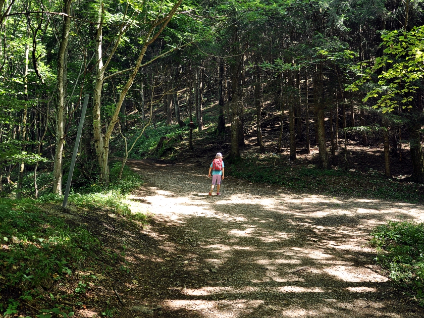
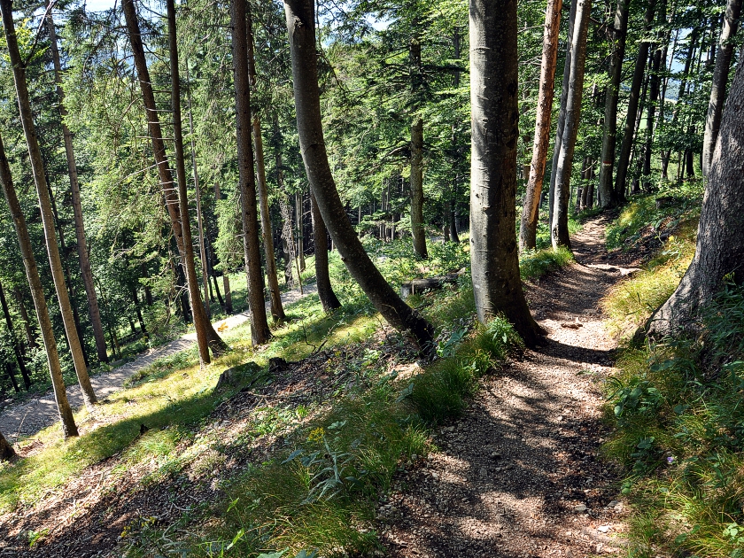
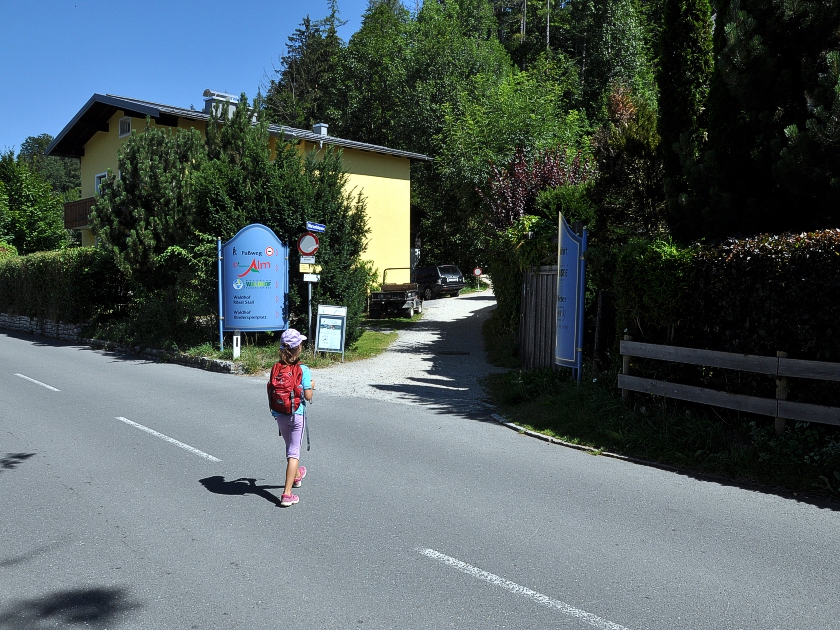 From the car park opposite Fuschl Beach, we start our tour heading north along the village road. Behind the Hotel Seerose, we keep to the left and can stroll along the lakeshore for a while. A few minutes later, we cross Seestraße and begin the actual hike via the Wartenfelsweg. The Schober is soon signposted on the well-maintained path. After a short stretch through the woods, we reach the grounds of the Waldhof Golf Club. Passing a small pond, we walk towards a small car park, where we keep to the right and continue northwards past the Waldhof Alm.
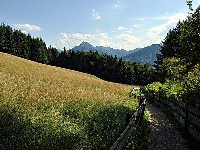
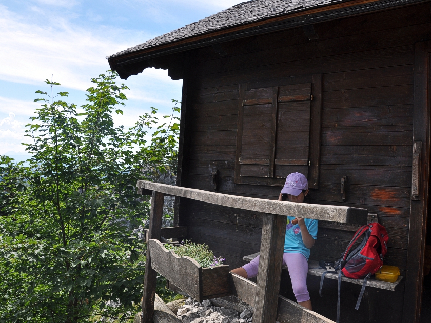
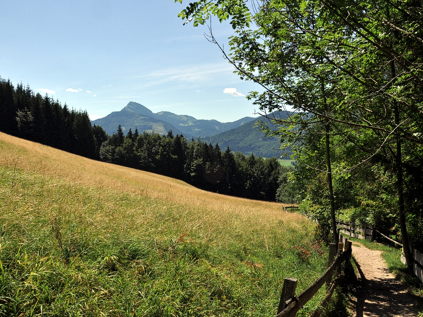 As we do so, we enter the forest again and marvel at the numerous roots that have taken over the path. From the alpine meadow that follows, we already have a rather lovely view of the rugged eastern rock faces of the Schober. To the south, the Faistenauer Schafberg stands out prominently. Keeping to the signposts, we soon reach the Wartenberg forest lodge. We fortify ourselves with a belated breakfast of cheese dumplings and then continue on our way to our next destination, the Wartenfels castle ruins. At a fork, we take the northern path to the left and reach the well-preserved castle ruins just under 20 minutes later.
 The view stretches far to the north into the Mondseeland region. To the north-east, the village of Mondsee on the lake of the same name can be seen, with the large late-Gothic church of the former Benedictine monastery. To the west, towards Salzburg, the transmission mast on the Gaisberg is visible. A sign by the ruins explains that the castle was once built to protect the Salzburg border. Back on the main path, a trail is signposted to the east, leading to the summit of the Schober.
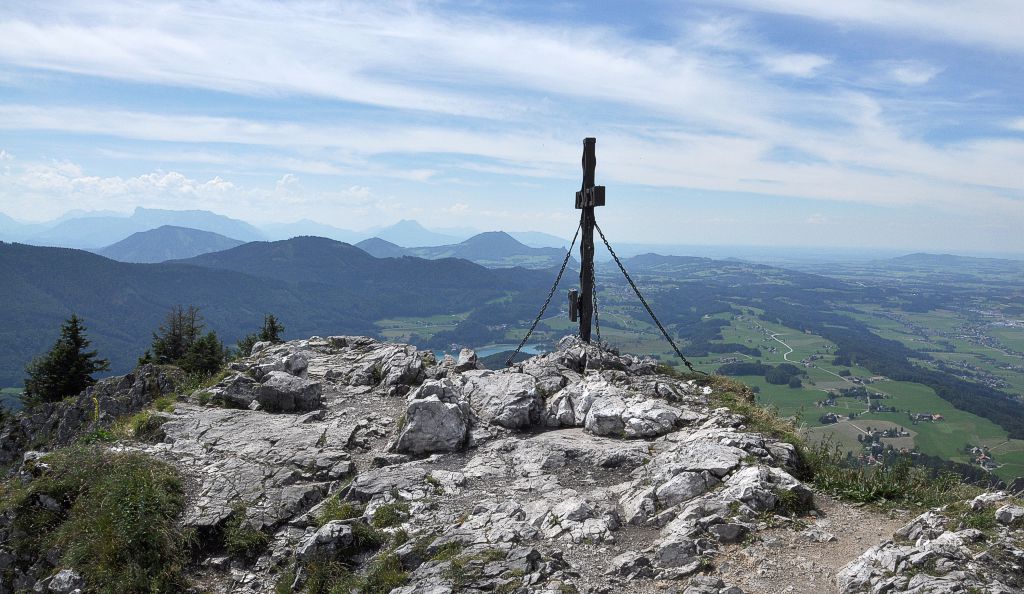
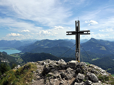
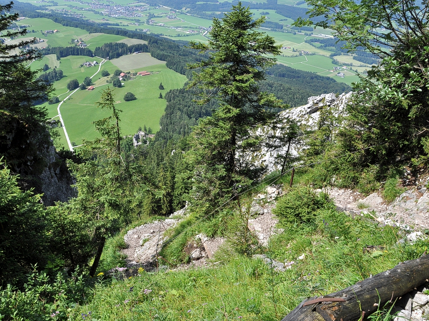 The path now climbs steeply through the forest, winding its way up the north-western ridge of the Schober. As we gain height, the forest thins out and the view improves. The Wartenberg castle ruins are now also a sight to behold from above. We can still easily bypass the first rock faces and manage just fine without the help of the wire rope already in place here. The final few metres below the summit are then a little more challenging. Thanks to the artificial steps and the rope, however, we manage these without any major problems and stand shortly afterwards on the rocky summit of the Schober.
 To the east, behind the Drachenwand, the Mondsee and Attersee lakes are visible. A little further south, the Schafberg dominates the panorama. To the south-east, behind the Wolfgangsee, rises the Hohe Dachstein, the main peak of the Dachstein range. To the south-west, the Hoher Göll, the Watzmann and the Hochkalter characterise the view of the numerous Alpine peaks. To the west, the Geigelstein marks the transition to the Alpine foothills. A few metres below the summit is a small mountain hut where you can enjoy a cosy snack even in windy weather.
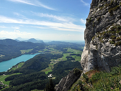
 For the descent, we have chosen the route via the Frauenkopf. Although the rocky path is not secured by wire ropes, it still requires our attention and sure-footedness. It takes us a good 10 minutes to reach the summit of the Frauenkopf. The view here is also remarkable. Fuschl and the turquoise-blue Fuschlsee in front of the Filbling are particularly lovely to look at from here. To the north, you can catch another glimpse of the summit of the Schober before we continue our descent southwards. The steep, stony path leads us through numerous hairpin bends into the forest and finally to a forest road. There, we keep to the right towards the north and walk once again towards the Wartenfels forest lodge. Here we quench our thirst once more and walk back to Fuschl along the path we took on the ascent.
If you’d like a bit of comfort during your final swim in Lake Fuschl, visit the Fuschl lido. The car park fee can be deducted from the entrance charge.
Forsthaus Wartenfels (920 m), Tel. +43 6235 636455.
| Elevation | Time | Total | Destination | ||
|---|---|---|---|---|---|
| 670 m | - 920 m | + 1:00 | 1:00 | Forsthaus Wartenfels | |
| 920 m | - 960 m | + 0:15 | 1:15 | Burgruine Wartenfels | |
| 960 m | - 1328 m | + 0:45 | 2:00 | Schober | |
| 1328 m | - 1304 m | + 0:15 | 2:15 | Frauenkopf | |
| 1304 m | - 670 m | + 01:30 | 3:45 | Parkplatz Strandbad Fuschl | |


