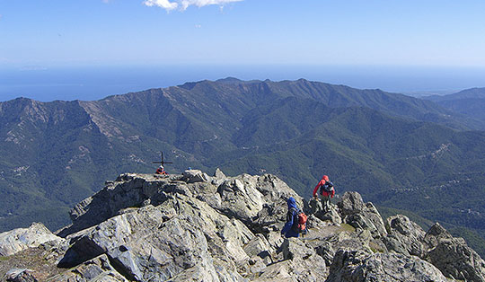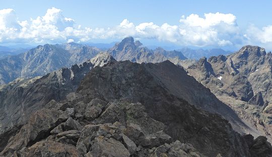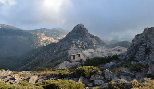


 White Mountains (Lefka Ori)
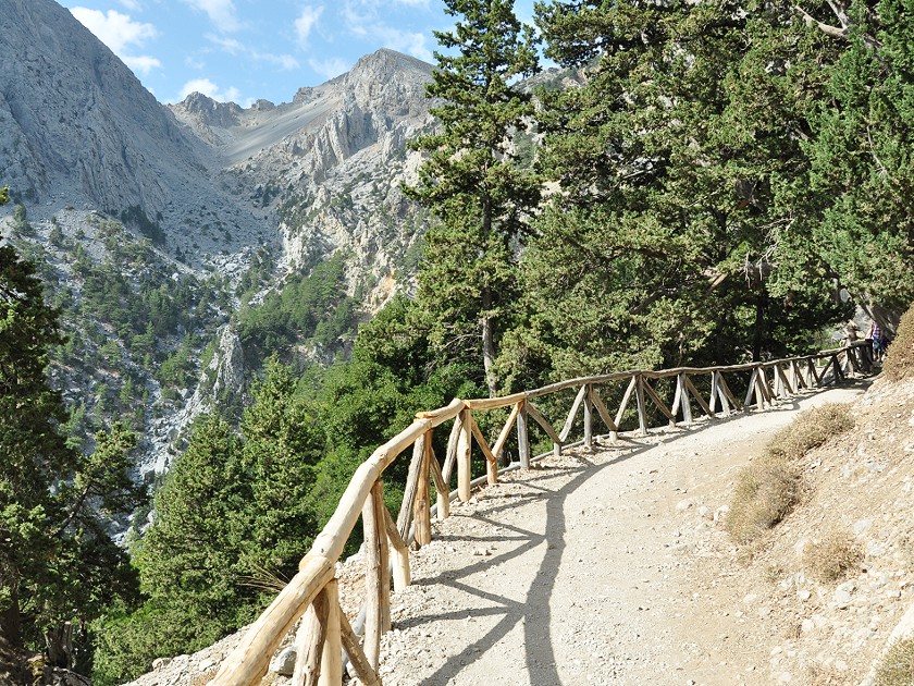
You should allow around five hours for the 16-kilometre route. The path is steep at the start and stony, but does not present any major technical challenges for hikers. Drinking water can be obtained from the numerous springs along the way. Sturdy footwear and sun protection are recommended.
Regular buses run daily from Chania to Xyloskalo, the entrance to Samaria National Park and the starting point of the tour. From the gorge’s exit, a path of around three kilometres leads to Agia Roumeli. There, tickets for the ferry to Chora Sfakion can be purchased. From Chora Sfakion, buses run back to Chania. In many places, the excursion is also offered as a package by local tour operators.
35.30811592, 23.91823386
Anzeige
The Samaria Gorge has been inhabited since ancient times. In addition to its former economic importance – as a southern access route to the sea for Crete, with its rich timber resources and hunting grounds – the gorge has also repeatedly served as a place of refuge or retreat. Since 1962, the area has been part of the Lefka Ori National Park (also known as Samaria National Park), covering almost 50 hectares. Since then, flora and fauna have been protected, which has been particularly beneficial for the conservation of the rare Cretan wild goat (Cretan chamois, Agrimi or Kri-kri).
 We begin our hike at an altitude of 1,250 metres. We quickly lose altitude via the numerous hairpin bends on the steep but well-maintained path. To the west (on the right) stand the rocky peaks of Gingilos and Psilafi. In places, signs warn of the risk of falling rocks. We pass through the area briskly and reach the first spring after about 30 minutes. Passing numerous cairns, we continue our descent to the church of Agios Nikolaos. Not far from here, rituals in honour of the gods (presumably Apollo and Diana) were performed as far back as pre-Christian times.
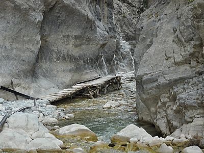
 It’s a lovely spot for a short break under ancient cypress trees. The rest of the path to the village of Samaria is now somewhat flatter. Along the way, not far from the path, we also spot a Cretan wild goat. To the south-east, the Kalokambou Gorge leads deep into the heart of the White Mountains. About an hour after the church of Agios Nikolaos, we cross a narrow bridge to reach the village of Samaria, which was abandoned in 1962. Today, it is home to various administrative buildings of the national park. Among other things, there is also a first-aid station there.
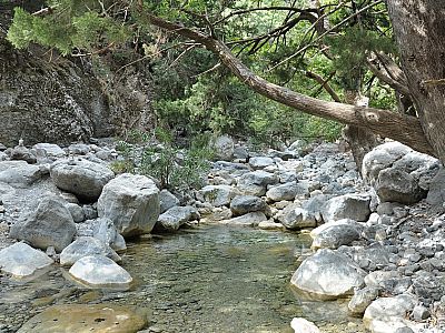
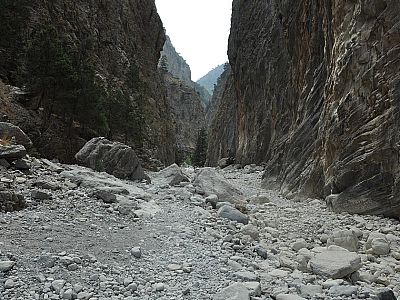
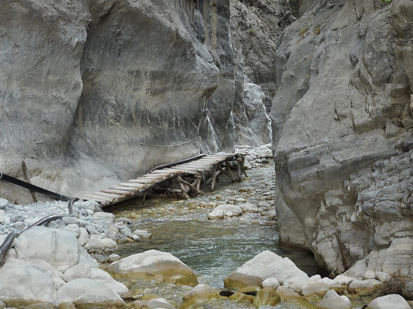 For many visitors, the most interesting part of the gorge now follows. It becomes increasingly narrower and the riverbed is flanked by huge, almost vertical rock faces. The narrowest point of the gorge, the ‘Iron Gate’, is just three and a half metres wide. We reach this shortly after the ‘Christos’ rest area. Many invaders who in earlier times attempted to take the gorge from the sea side failed at this gate. Today, tourists gaze in awe at the 300-metre-high walls. The individual rock layers are clearly visible. One can only imagine the forces that must have been at work here.
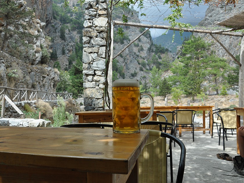 Starting from the Iron Gate, we hike for another 30 minutes or so through the varied gorge. Even before we reach the first houses of the village of Agia Roumeli, we come across a kiosk. To our amazement, the beer there is served in glasses that are very familiar to us. We enjoy a pint for 5.50 euros and then continue on the roughly three-kilometre-long path towards the beach. Most of the old houses in the original village are abandoned. In the rock faces on the left, we discover the chapel of Saint Anthony, nestled in a cave.
 We reach the coast in just over half an hour via the tarmac road. There are a few restaurants and souvenir shops here. We use the time until the ship sets sail for a refreshing swim in the Libyan Sea. After a hearty snack on one of the terraces, we board the ferry to Chora Sfakion and enjoy the blue of the sea and the view of the rugged coastline during the journey. Once in Chora Sfakion, we board the bus that is already waiting to take us back to the hotel. All that walking downhill is starting to take its toll on our feet. So we’ll be spending the next day relaxing on the beach.
No places for refreshments along the way. There is a kiosk at both the start and the end of the gorge. You will find plenty of restaurants in Agia Roumeli.
| Elevation | Time | Total | Destination | ||
|---|---|---|---|---|---|
| 1250 m | - 350 m | + 2:30 | 2:30 | Samaria | |
| 350 m | - 10 m | + 2:30 | 5:00 | Agia Roumeli | |