
 La Réunion
Car park at Maïdo (2165 m) – Le Grand Bénare (2898 m)
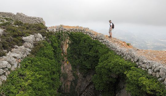
A moderately difficult and lengthy mountain hike that frequently leads close to a steep escarpment. Thanks to the countless markings, navigation is straightforward even in fog. Sure-footedness and a head for heights are essential for the ascent.
From Saint Denis, take the N1 motorway towards St. Paul and leave the motorway at Plateau-Caillou, between St. Paul and St. Gilles. Take the D6 towards Le Guillaume and then follow the signs for “Le Maïdo”. From the motorway exit, it is 27.5 km and an elevation gain of approx. 2000 metres to the car park at Maïdo.
-21.07177324, 55.38631847
Anzeige
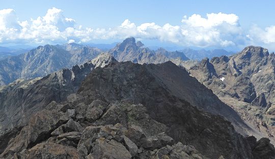
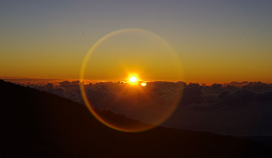
Le Maïdo is the most famous viewpoint on the island of Réunion. The viewing platform, situated at an altitude of just under 2,200 metres, can be reached by car from the west coast. Anyone keen to get active at Le Maïdo can tackle the ascent of Grand Bénare. However, the relatively modest elevation gain between Le Maïdo and the summit of Bénare should not hide the fact that the climb is quite a long one. It is a straightforward route of more than seven kilometres from the car park to the summit cross on Grand Bénare. As clouds can roll up towards the summit early in the morning, you should set off early and enjoy the wonderful view over the Cirque de Mafate and towards Piton des Neiges before beginning the ascent at Maïdo.
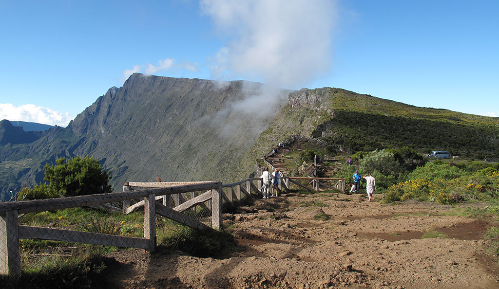
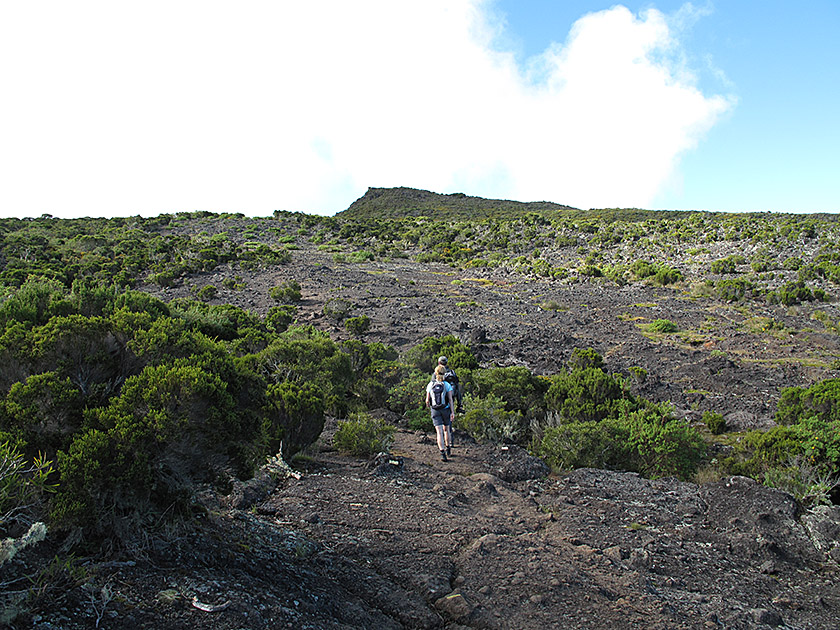 From the car park below the viewpoint at Maïdo, we walk south-west, following the signposting for ‘Le Grand Bénare/Glaciére’. We follow a tarmac road and turn left after three minutes (signpost ‘Grand Bénare/Sentier Grand Bord’). We climb upwards over flat lava rock at a moderate gradient. The path is consistently well marked with countless white markings. We cross a first hill and descend again on the other side. The first stage of the tour continues with ups and downs. There is no significant gain in altitude to speak of just yet.
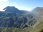
 After an hour’s walk, we come to the first junction leading to the Glaciére. We continue straight ahead, following the ridge. The path now frequently brings us close to the cliff edge. Signs also warn us of crevasses opening up in the ground off the path. It is therefore highly advisable to stay focused and stick to the ample markings provided. In the following stretch, we ignore further turn-offs to the Glaciére on our right. After a good 1½ hours in total, we come to a ridge ascent, which we climb via numerous switchbacks.
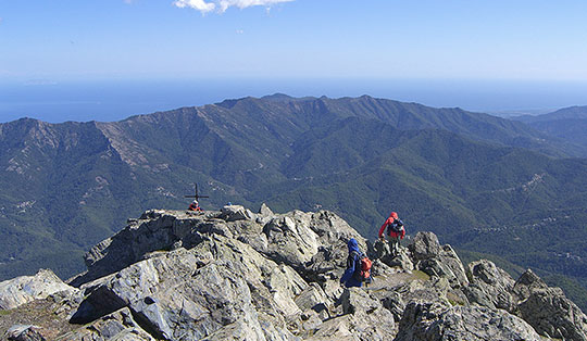
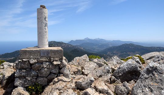
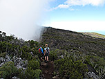
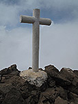
 After this climb, the terrain levels out again. The path follows the ridge again and often runs close to the edge of the cliff. The scrub that has accompanied us so far soon disappears completely. The barren landscape is now characterised by heather and lava rock. Finally, we climb up the ridge, which widens towards the end, to an antenna and a metal box. Here we can see the summit cross of the Grand Bénare on our left. We leave the metal box to our right, turn left shortly afterwards and climb up the boulder-strewn summit slope to the highest point.
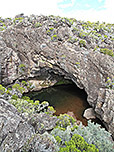
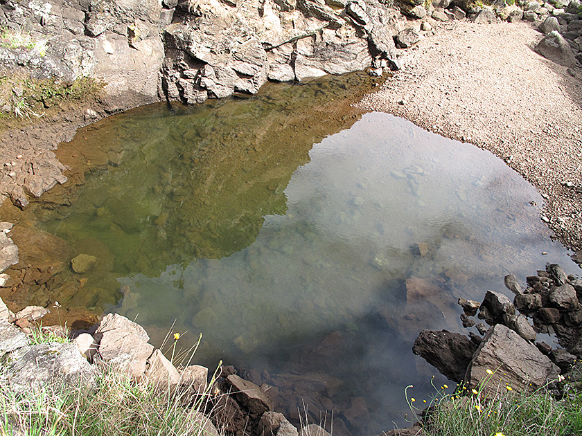 Same as ascent. Those wishing to make a short detour can visit the Caverne de la Glaciére. In the past, ice was harvested from the cave in winter, stored in wells and finally transported to the coast. To do this, walk back along the ascent route for 45 minutes and then turn left (signposted ‘La Glaciére’). From La Glaciére, follow the signs to Maïdo and rejoin the ascent route. Allow for an extra half an hour for this short detour.
There are no places to stop for refreshments along the way.
| Elevation | Time | Total | Destination | ||
|---|---|---|---|---|---|
| 2165 m | - 2898 m | + 3:15 | 3:15 | Le Grand Bénare | |
| 2898 m | - 2165 m | + 2:45 | 6:00 | Parkplatz Le Maïdo | |